


Variable rate application gets its target in one of two ways. Map-based variable rate reads a file that was written before the pass. Sensor-based variable rate reads an instrument that is on the machine during the pass. Both end at the same place: a controller commanding a rate at a GPS position. They differ in when the number is chosen, and in what the number is looking at.
Map-based
A prescription map divides the field into areas and stores a rate for each one. Before the pass, that file is loaded on the display. As the machine moves, the GPS receiver reports a coordinate. The controller finds the area that contains the coordinate and sets the product rate to the value stored there.
The map can be built from almost any layer that varies across the field. Soil-test grids, management zones, yield maps, canopy imagery, slope, and electrical conductivity are all used this way. The controller does not know which layer it was. It knows a polygon, or a cell, and a number.
Because the file exists ahead of time, the pass can be reviewed in the office. Totals can be estimated. The file can be handed to a co-op or a custom applicator. The rate does not react to what the crop looks like on the day of the pass, unless someone edits the file first.
Sensor-based
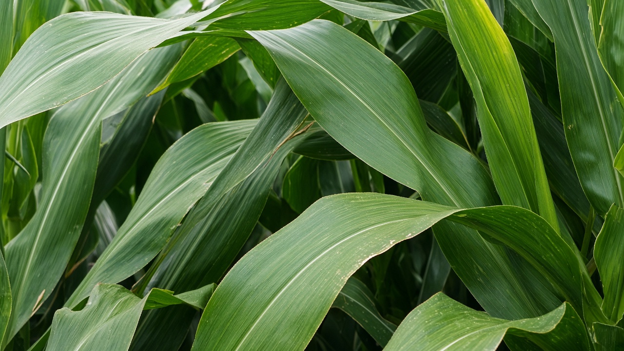
A sensor-based system carries the measurement with it. Active canopy sensors, such as the ones sold for nitrogen sidedress, shine their own light at the crop and read what reflects back. The reading is a stand-in for how much vegetation is there, often expressed with a vegetation index. An equation in the controller turns that reading into a nitrogen rate while the machine is moving.
The rate can change inside a few feet, and it can change with the day. A cloudy week, a thin stand, or a variety that stays greener will move the reading. There is no file to open the week before. What exists afterward is the as-applied map, the log of rates the controller actually commanded.
Other on-the-go sensors read the soil rather than the crop. Soil conductivity and organic-matter sensors have been mounted on tillage tools and on applicators. The principle is the same. A live reading replaces a map that was drawn earlier.
Using both
Some nitrogen systems load a map as a base rate and let a canopy sensor adjust it, up to a ceiling and down to a floor that were set with the map. The map carries the plan. The sensor carries what the crop is doing in that hour. The controller writes one rate, which is the combination.
Map-based and sensor-based are descriptions of the source of the target. They are not two products, and a single machine can be wired for either, or for both at once.